 Preparing for Relief
Preparing for Relief
Preparing for Relief
2008-01-07
Before we unloaded our ships (and before I flew to the Theron Range) we had to do some work to prepare a route from the ocean to the shelf. This year we were lucky as most but not all of the fast ice had blown away, leaving a strip about a kilometer wide hugging the cliffs along the coast of Halley. The ice had been there for two years, so was super-thick, and there was already the start of a good ramp which we could use to get vehicles on and off the ice.
The vehicles team spent a few days bulldozing the snow on the ramp into something a little less steep, and groomed the route between Halley and the ramp with a heavy contraption that compacts the snow to make a better driving surface. My contribution came a little later as I used a portable radar to profile the ice and snow underneath the route to ensure that there were no huge holes waiting to swallow up our precious cargo.
The radar works by firing bursts of energy down into the snow then listening for echoes to bounce back. We get echoes where the structure of the snow changes. Either from snow to ice, or, more worryingly, from snow to air (a crevasse!). Burried barrels show up very well and the level at which the sea soaks into the ice shelf produces a strong response as compacted snow and salty slush are very different from one another.
Luckily we only found holes where we expected them, and those were burried deeply under a few meters of snow, so the load of any passing vehicles would be spread far enough that there was no danger of collapse. As I was due to spend the next few weeks driving up and down the ramp, this was good news...
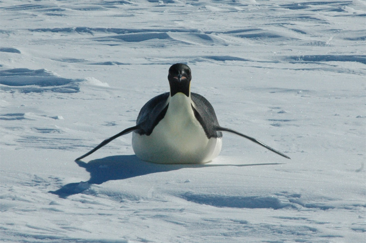
Emperor on the ice
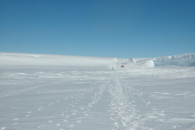
The ramp from the ice edge
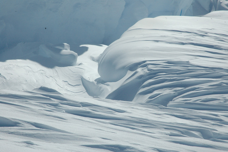
Wind blown folds of snow
Mel and Ben help me GPR the ramp
As well as work profiling the ramp, I also inspected the sea ice for cracks, but found that the GPR got too confused and couldn't be used to tell the different between cracks and places where lumps of ice had been gathered on top of the sea ice but beneath the layer of snow covering it. In the end we resorted to the tried and tested method of digging a few holes. After digging through two meters of soft but solid snow we reached a thin layer of salty water mixed with snow crystals, beneath this was solid grey ice that extended deeper than we could drill, and probably for five or so meters beneath sea level. Strong enough to support the odd 18 tonne crane, anyway.